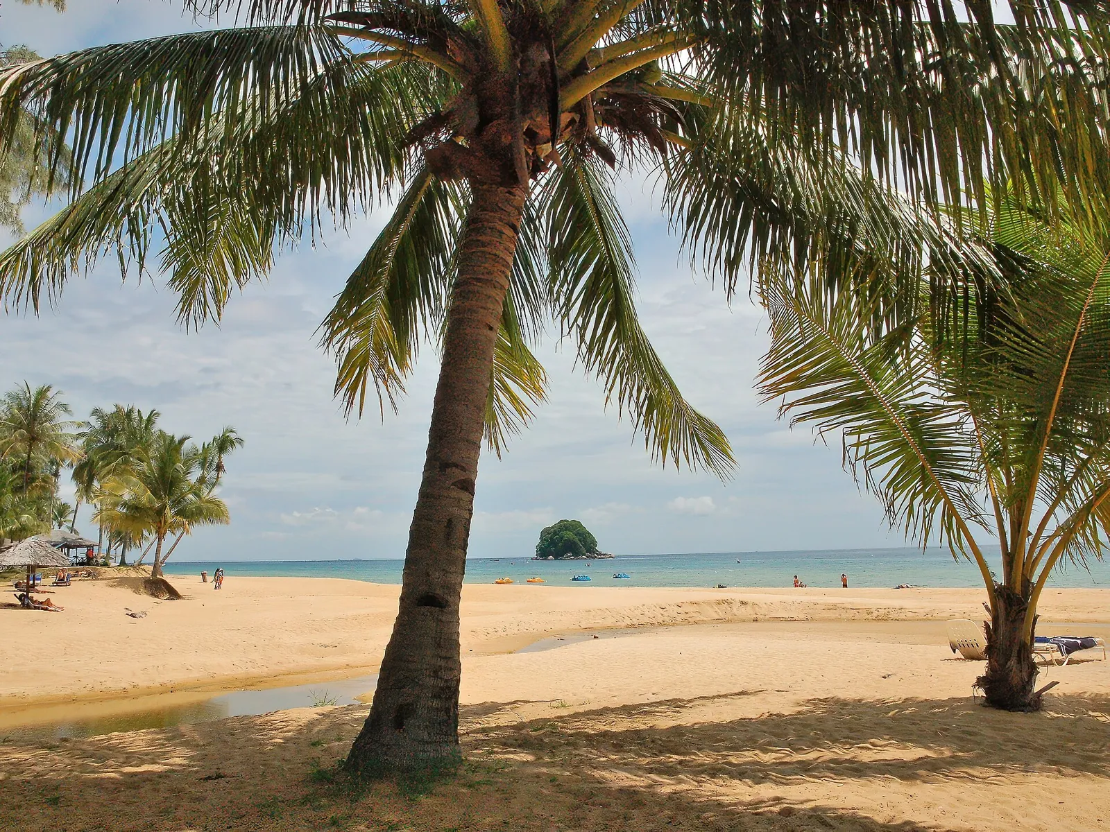

A forested granite island off the east coast of Peninsular Malaysia, with coral reefs a short swim from the beach and no road around its coast.
Independent travel guide. Not affiliated with any ferry operator, resort or government agency.
The island in brief
- Where: South China Sea, about 39 km off the coast, in the Rompin district of Pahang state.
- Size: about 20 km long and 12 km wide, 136 km². Most of it is steep rainforest.
- Highest point: Gunung Kajang, 1,038 m.
- Getting there: ferry from Mersing (Johor) or Tanjung Gemok (Pahang), about 1.5–2 hours.
- Status: the waters around Tioman and the small islands nearby are a marine park; visitors pay a conservation fee at the jetty. The island is also a duty-free zone.
- Villages: Tekek, Air Batang (ABC), Salang, Juara, Genting, Paya, Nipah, Mukut and a few smaller ones, each on its own bay.
What to do
- DivingRenggis for first dives, Chebeh and Tiger Reef for experienced divers.
- SnorkellingReefs you can reach from the beach at Salang, ABC and Monkey Bay.
- Beaches and villagesWhich bay suits you: quiet, lively, family-friendly or remote.
- Jungle trailsTekek to Juara on foot, Asah waterfall, the Dragon's Horns.
- Marine park and turtlesThe conservation fee, reef etiquette and turtle nesting at Juara.
- Getting thereFerries, jetties, buses to Mersing, and why flights are not an option now.
How the island is laid out
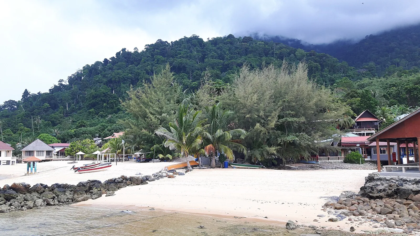
Almost all accommodation sits on the west coast, which faces the mainland and gets calmer water. Tekek, the largest village, has the main jetty, the airstrip and shops. North of it are Air Batang (known as ABC) and Salang; to the south are Genting, Paya and Nipah. Juara is the only village on the east coast: a long beach facing the open sea, linked to Tekek by a steep road over the hills. Mukut, at the southern tip, sits under the granite peaks called the Dragon's Horns.
There is no coastal road. Between west-coast villages you travel by water taxi, by ferry or on foot along jungle paths. Pick your base with that in mind: moving bays every day adds up.

A landmark for sailors
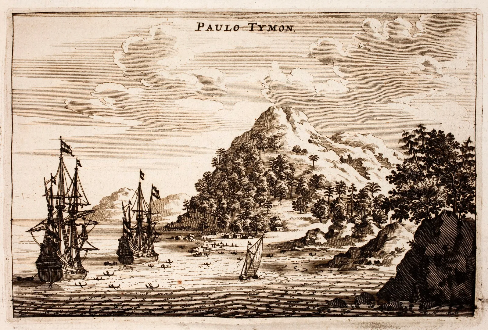
Tioman's peaks are visible far out at sea, and for centuries ships sailing between China, the Malay world and India used the island to take bearings, water and wood. Fragments of Chinese porcelain still wash up on its beaches. The engraving below, published in 1665 from the travels of a Dutch embassy to China, labels the island "Paulo Tymon".
Before you go
- Bring enough cash. Card payment and ATMs are limited outside Tekek, and the marine park fee is paid in cash.
- Ferry times depend on the tide, especially at Mersing. Leave a margin before onward buses or flights.
- Reef-safe sunscreen, a light rain jacket and shoes you can walk in on wet rock are worth packing.
Tioman pairs well with the mainland: rainforest at Taman Negara, the Batu Caves near Kuala Lumpur and the cable car on Langkawi. Belka Travel keeps illustrated notes on Malaysia's sights that help with planning the rest of the route.